Dec 2012 · Index · June 2013


The Transandine Railway

Scary Bridges · Issue 3


Map showing location of the Transandine Railway.
(Map credit CIA World Fact Book)
Photo of a railroad tunnel

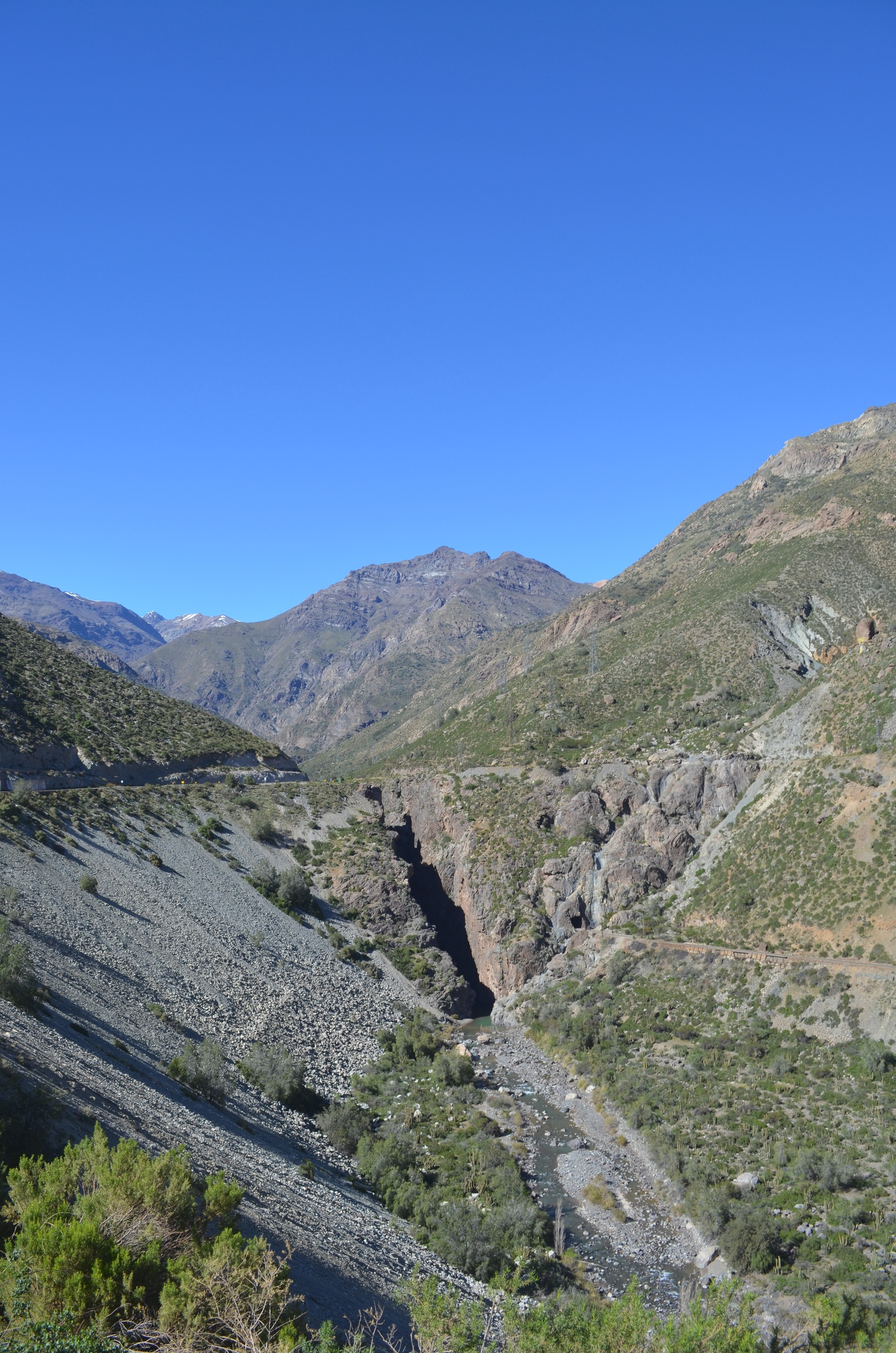
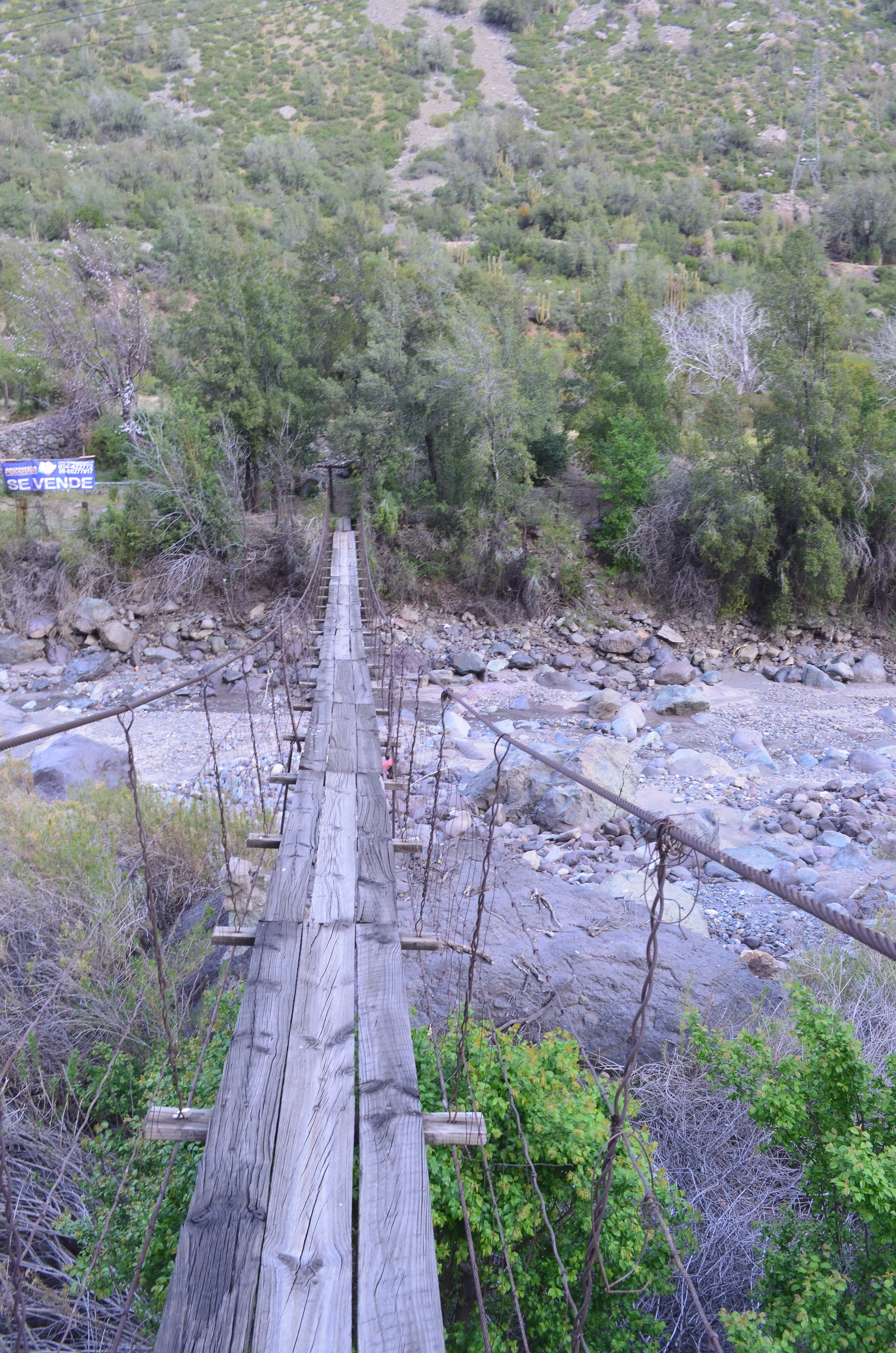
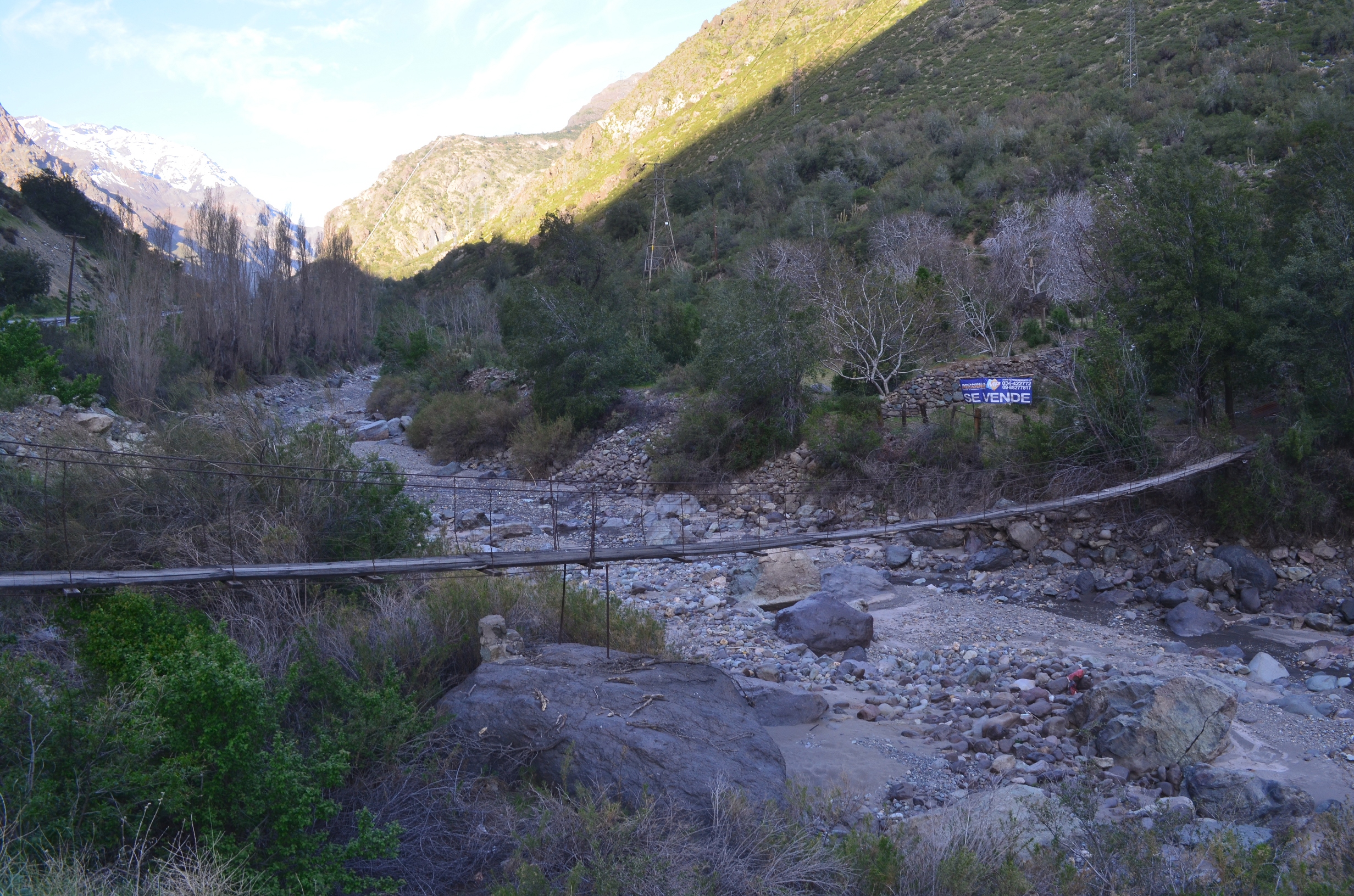
This issue covers several scary bridges, all in the area of the former Transandine Railway, El Ferrocarril Transandino. It also covers other parts of the former railway.

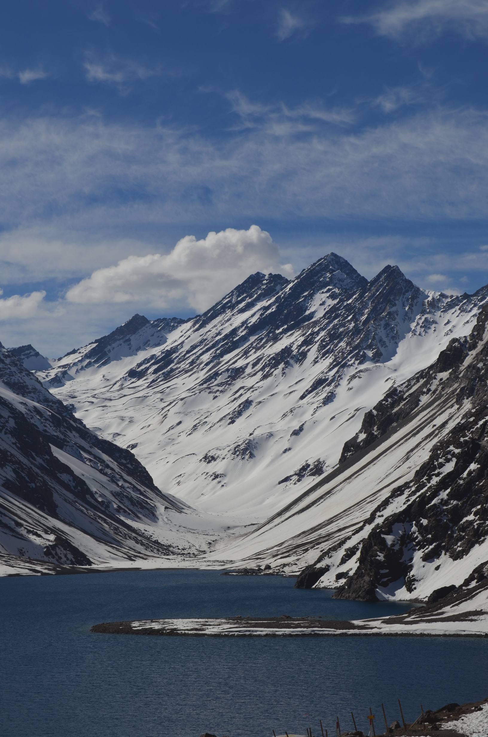
The Transandine Railway traveled from the town of Los Andes, Chile, 248km over the Andes mountains to Mendoza, Argentina. Construction started in 1887 and finished in 1910. The Los Andes rail head has an elevation of 813m, the summit tunnel is at 3176m, and the Mendoza rail head is at 767m. To overcome the steep grades and sharp curves involved a narrow gauge (1 meter) cog railroad was used. Originally only steam locomotives were used, but they were later replaced with electric and diesel locomotives.

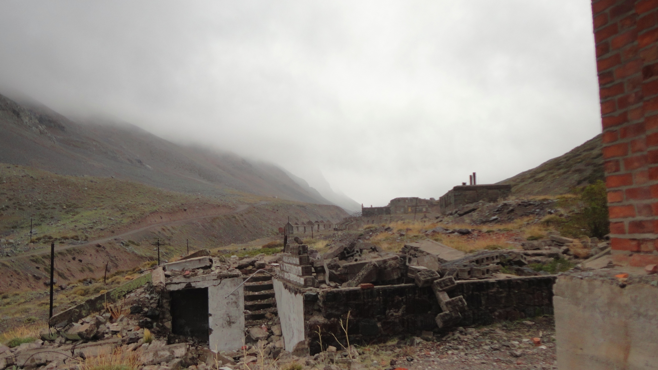
When first constructed the Transandine Railway was a major improvement to the alternatives: crossing the Andes by horse, or taking a steam ship around the southern tip of South America. However, due to the incredibly rugged terrain the cost of operating the railroad was very high; it was never a financial success. In 1984 an avavalanche severely damaged the road. The damage was too costly to repair without government aide, of which was declined.

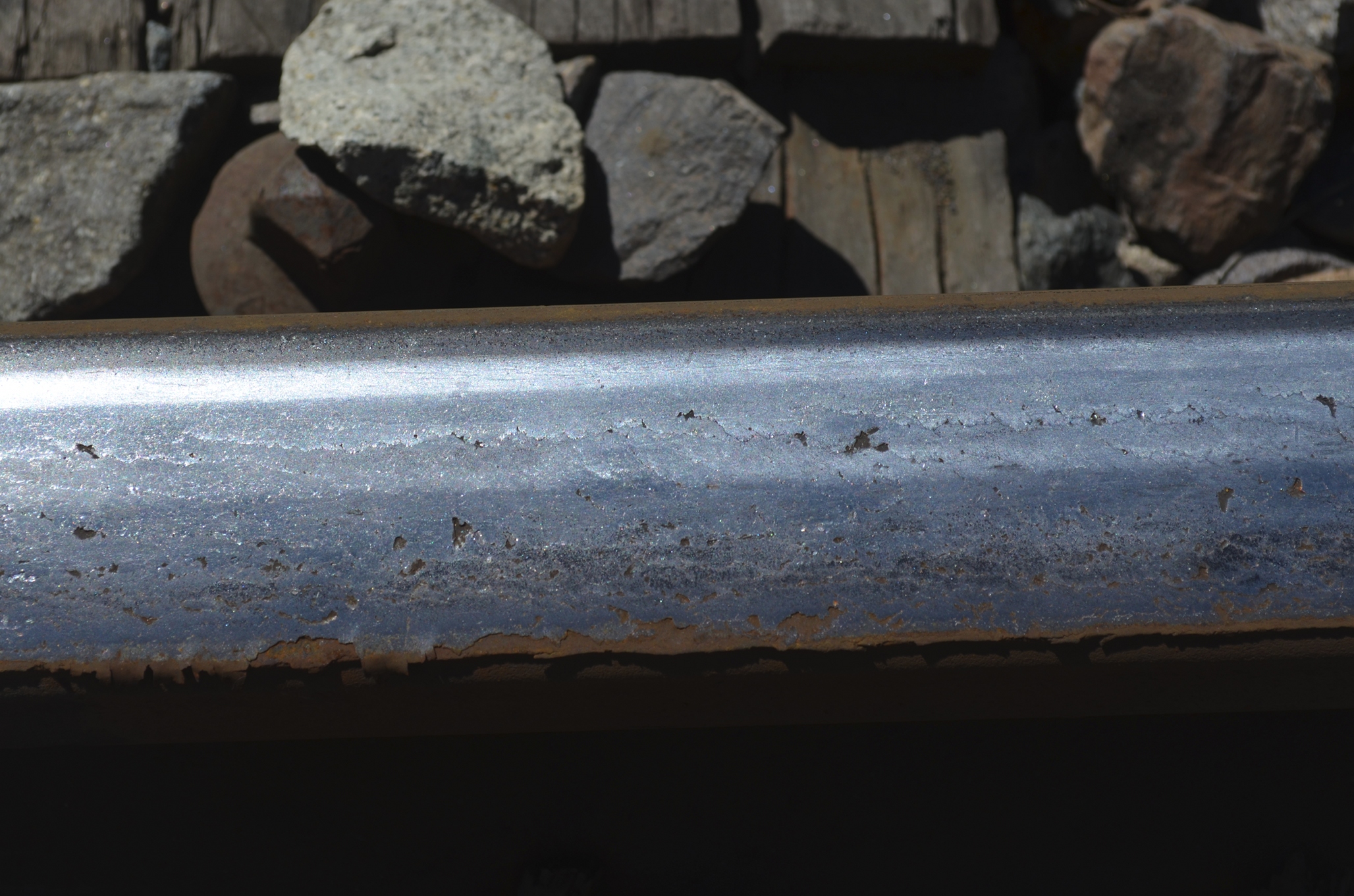
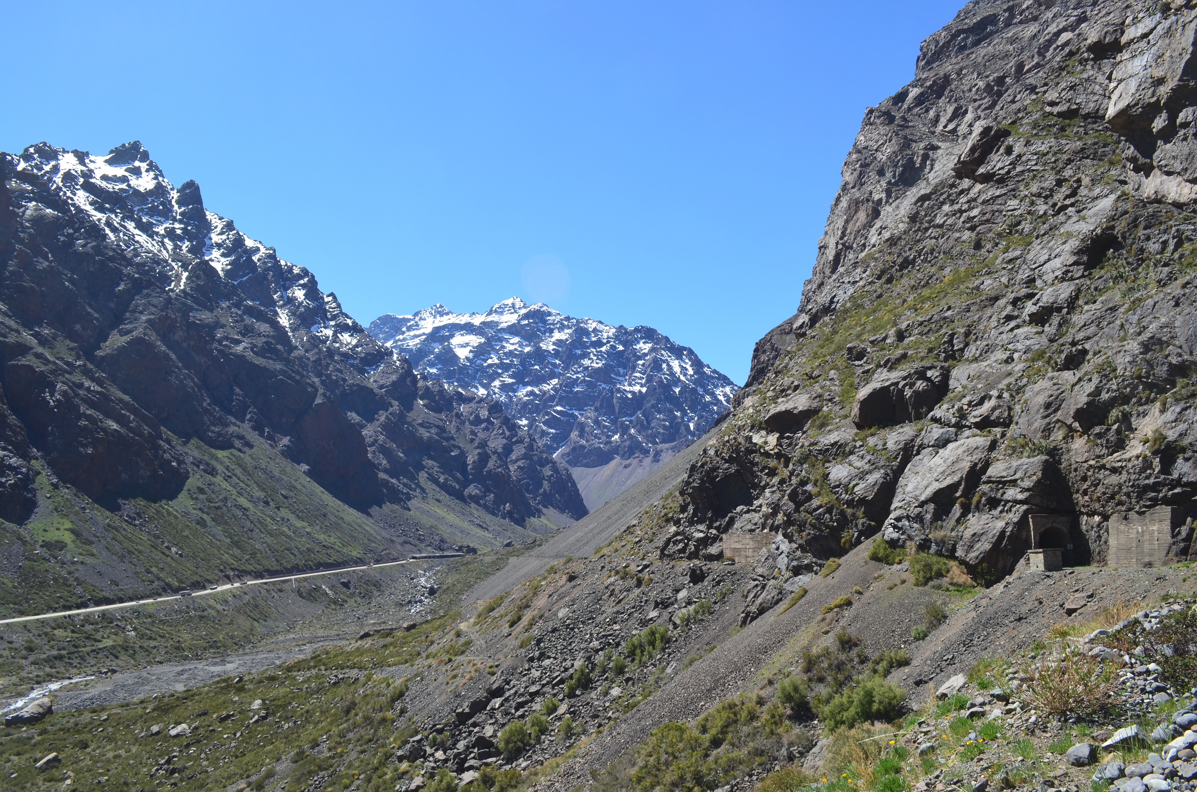
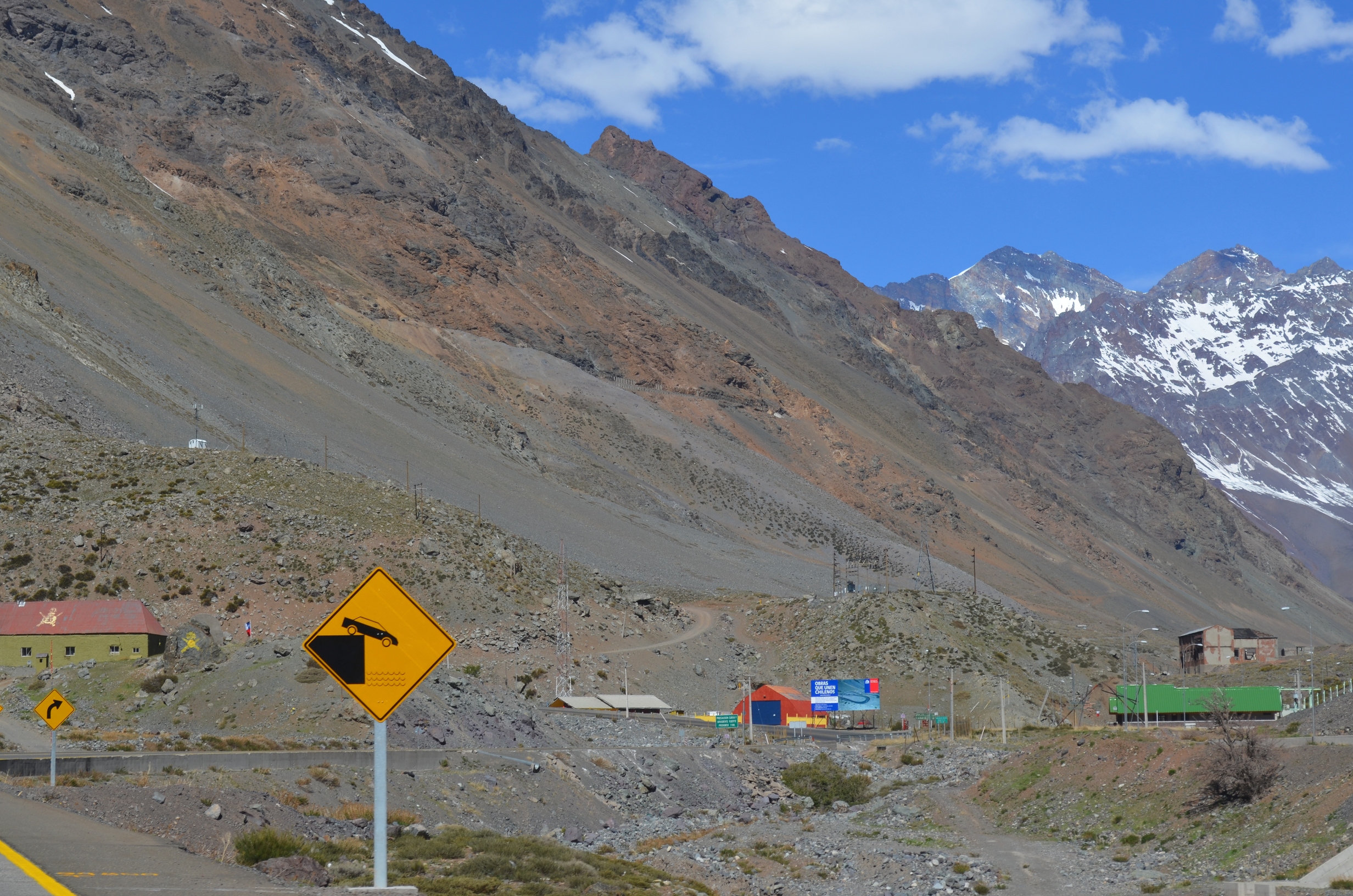
Today there is a very windy two lane highway following about the same route, and the majority of the Transandine Railroad is abandoned. A small section is still in operation to carry copper solution from a mine to a refinery in Los Andes.

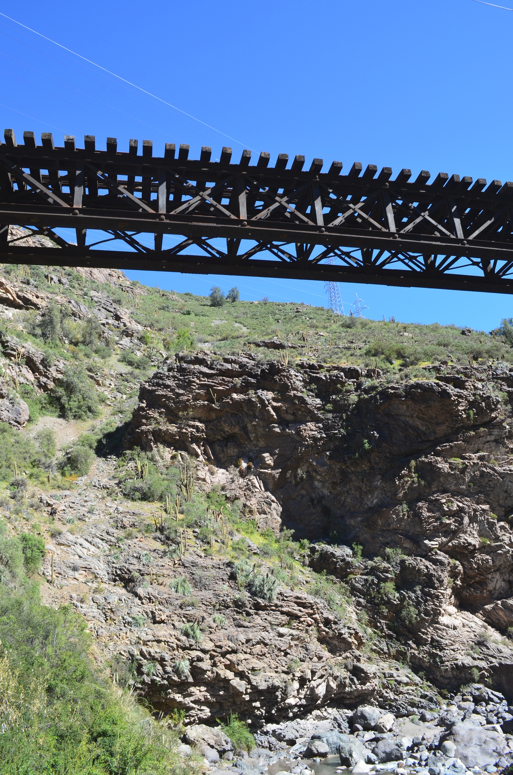
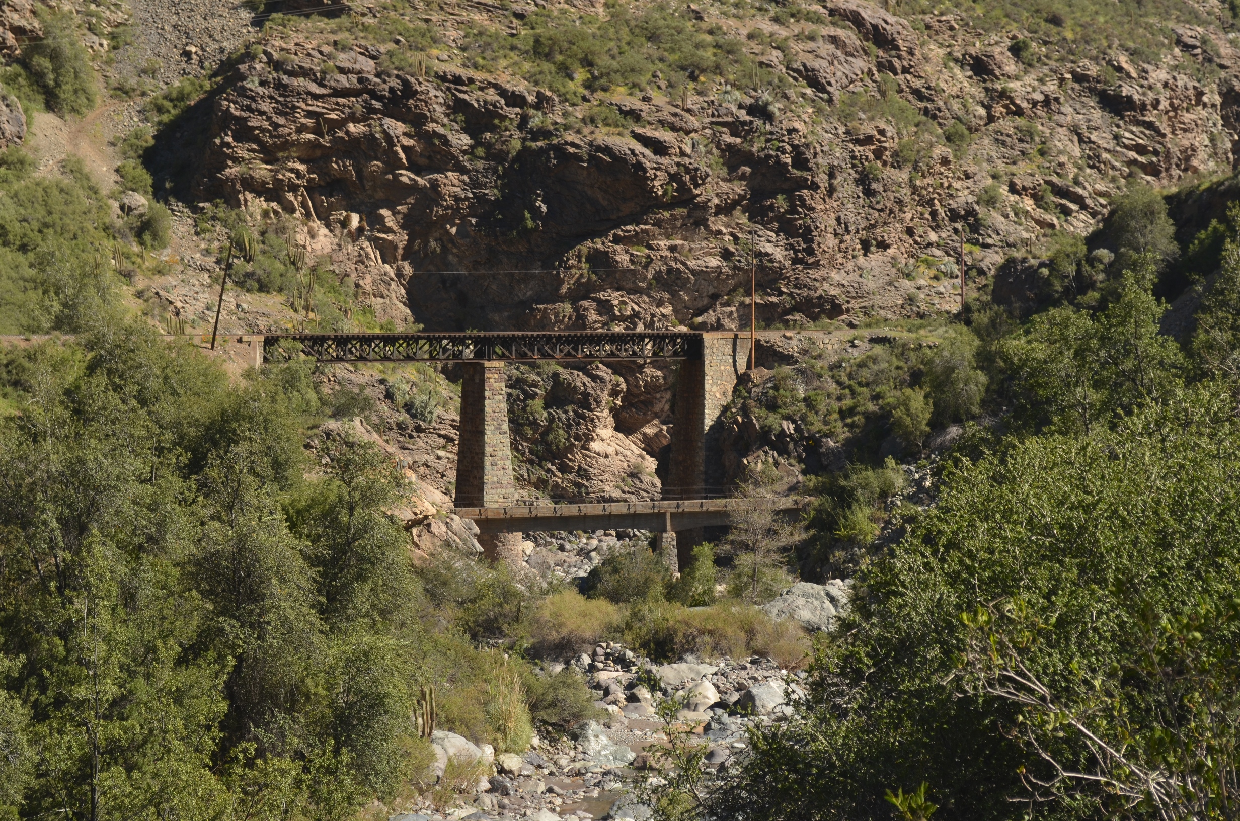
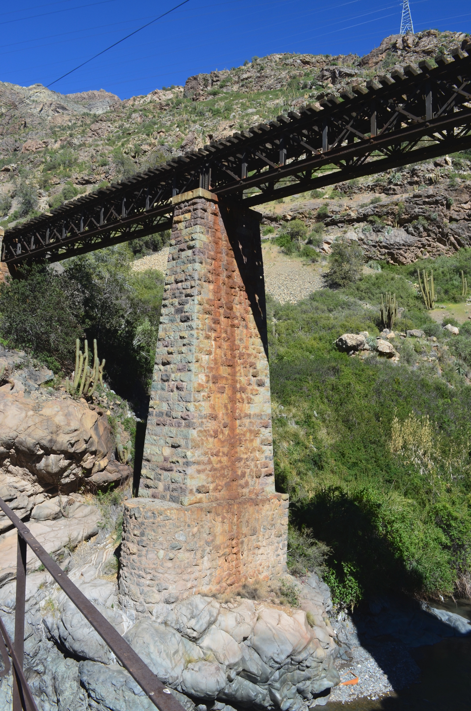
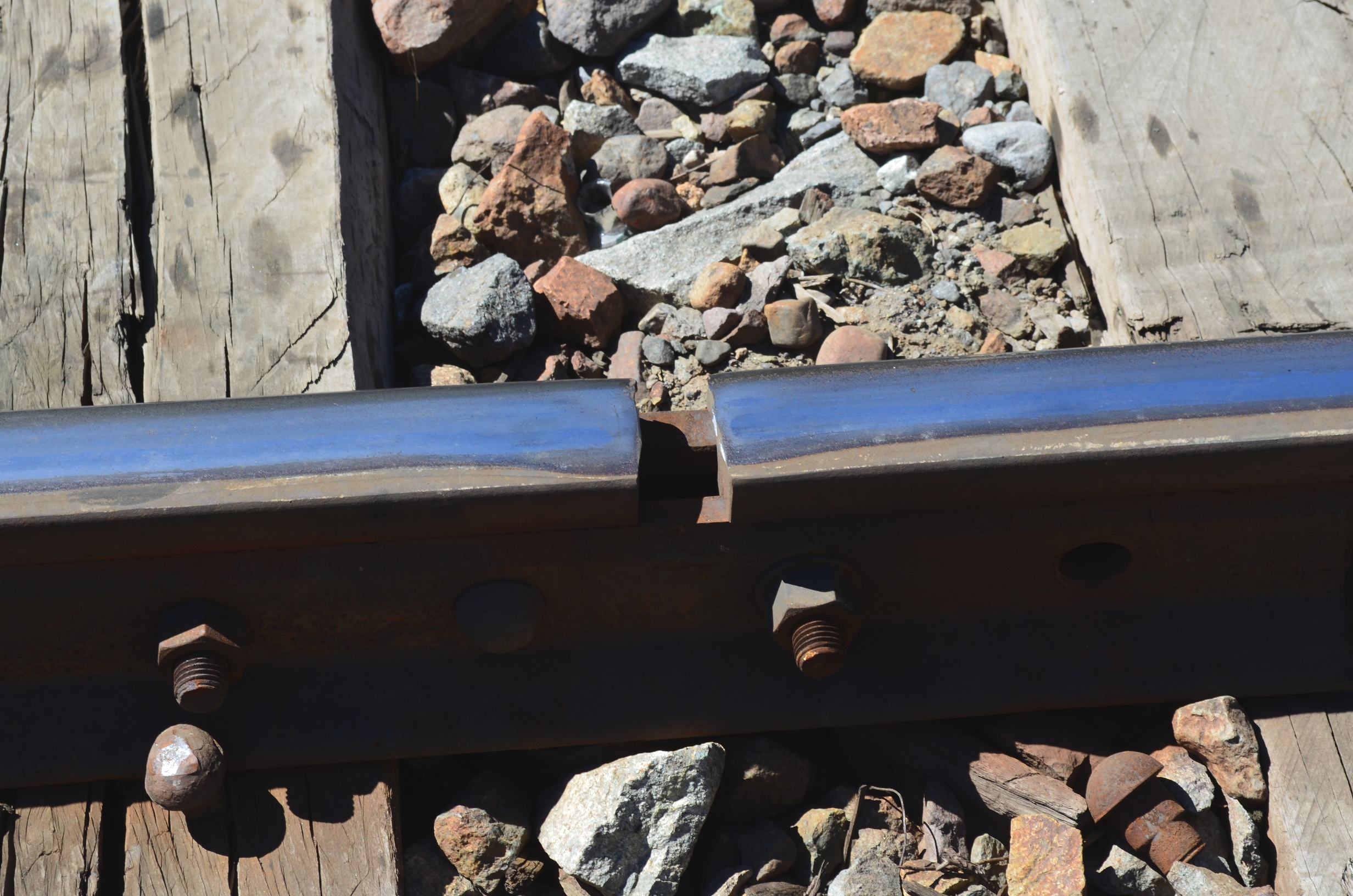
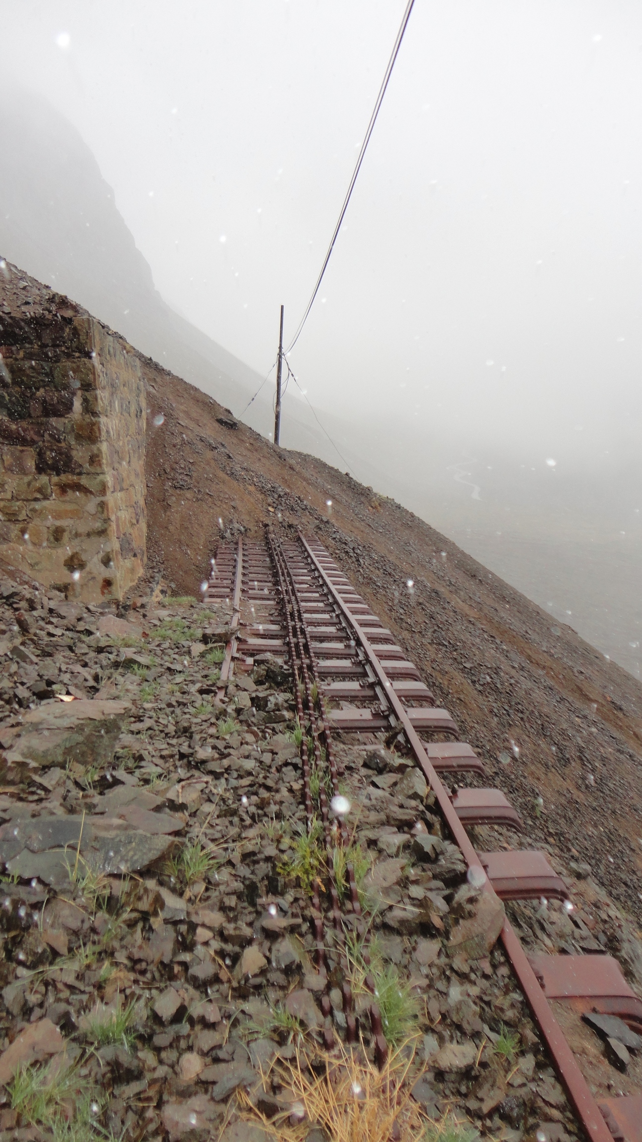
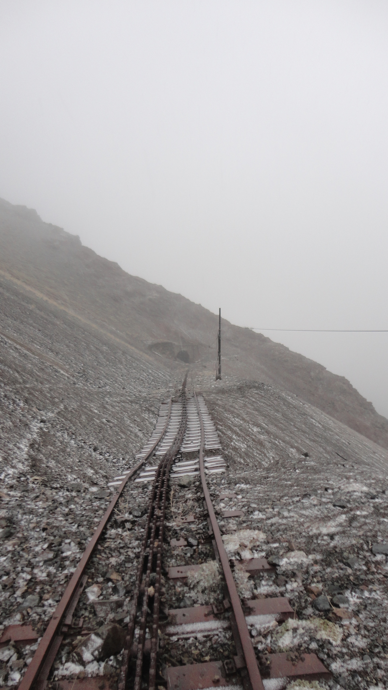
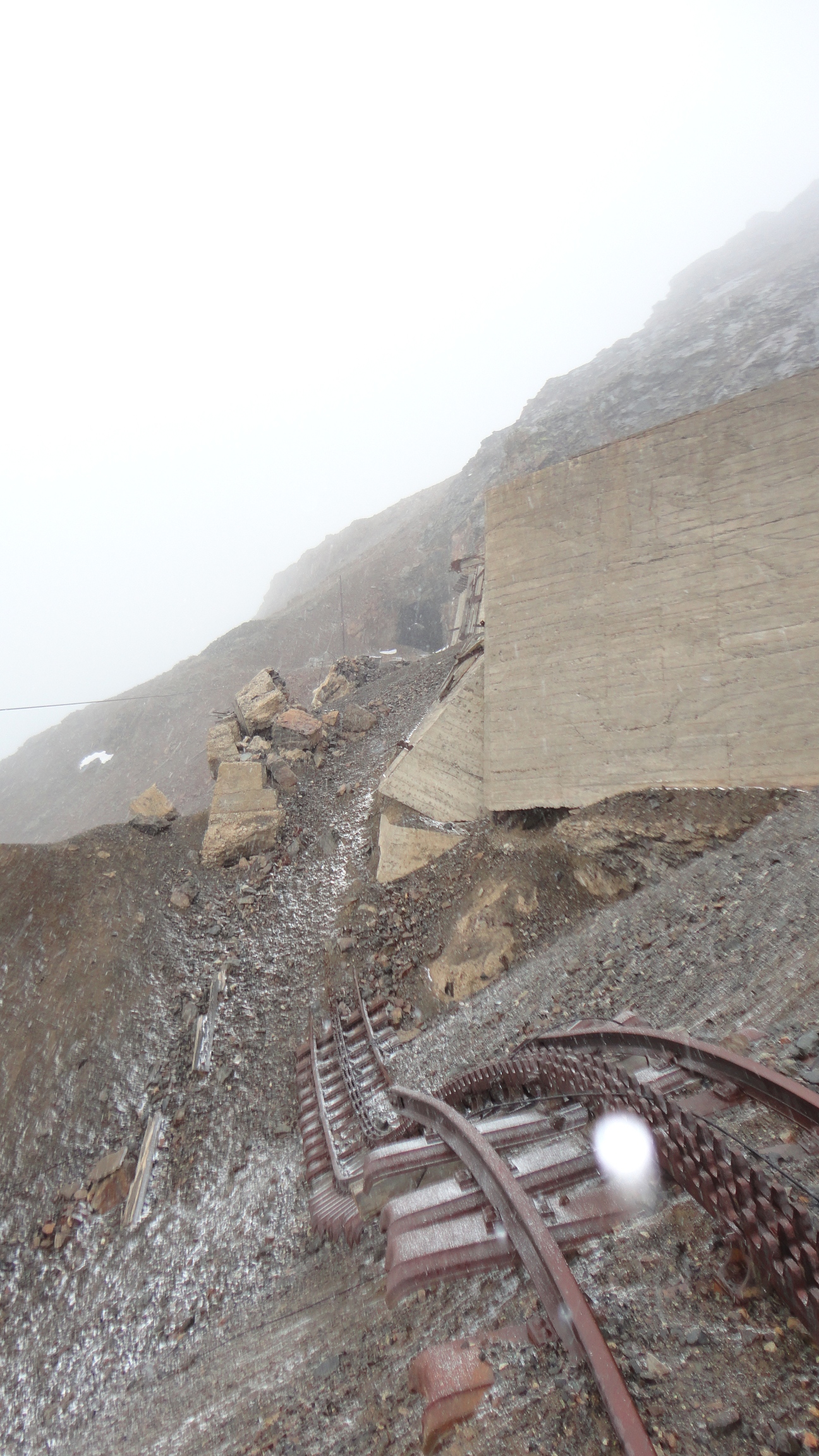
There has been ongoing discussion of reopening the Transandine Railroad. One idea is to restore the old meter gauge cog railway using the old route. This would require restoring the bridges and tunnels, clearing & stabilizing the grade, constructing numerous snowsheds, and providing avalanche protection. Some people have suggested this can be done easily, but following pictures might disabuse them of that notion.

Another plan calls for building an all new railroad using broad gauge track (to match other South American railroads). This would involve a new grade on a somewhat simmilar route, lower maximum elevation, and a substantially longer summit tunnel. The longer tunnel would be costly to construct. But it would provide faster and higher capacity service, reduce the avalanche danger, maintenance cost, and overall track length. The longer tunnel would also avoide the stretches of track that have been undermined by landslides.

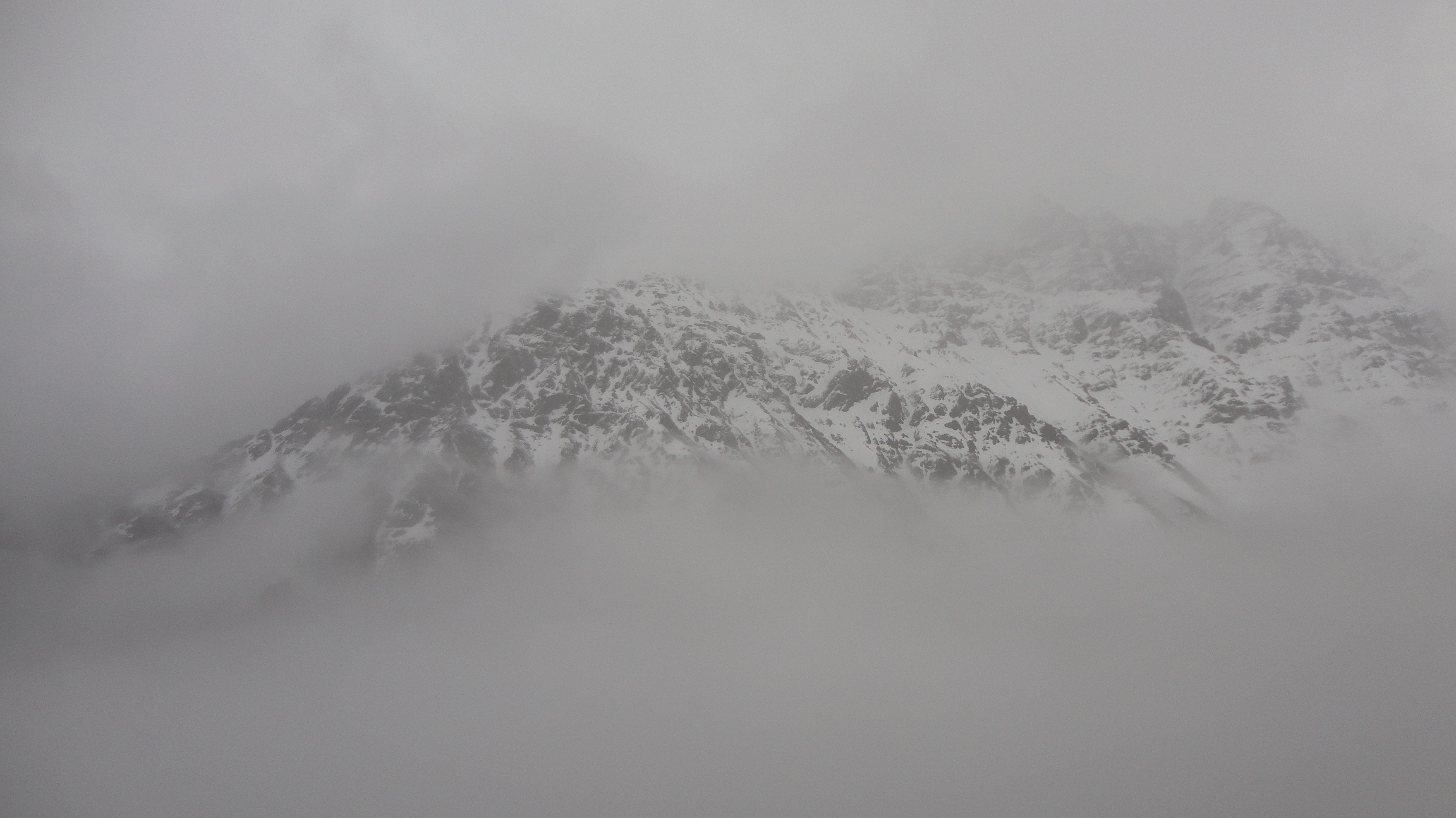
As of September 2012 (when these pictures were taken) there was no sign of new construction. Information on future railroad plans was difficult to find, and I am not optimistic. One Chilean summed up the question of a new or reopened Transandine Railroad as "It would be nice. But it will never happen because it requires too much cooperation from Argentina." I hope that he is proven wrong.

This area be found on Google Maps. The old railroad follows Route 60. In addition, if you can find a copy, El Ferrocarril Trasandino has numerous pictures from the operation and construction of the railroad. And, if you can read Spanish, it also has a lot of history.

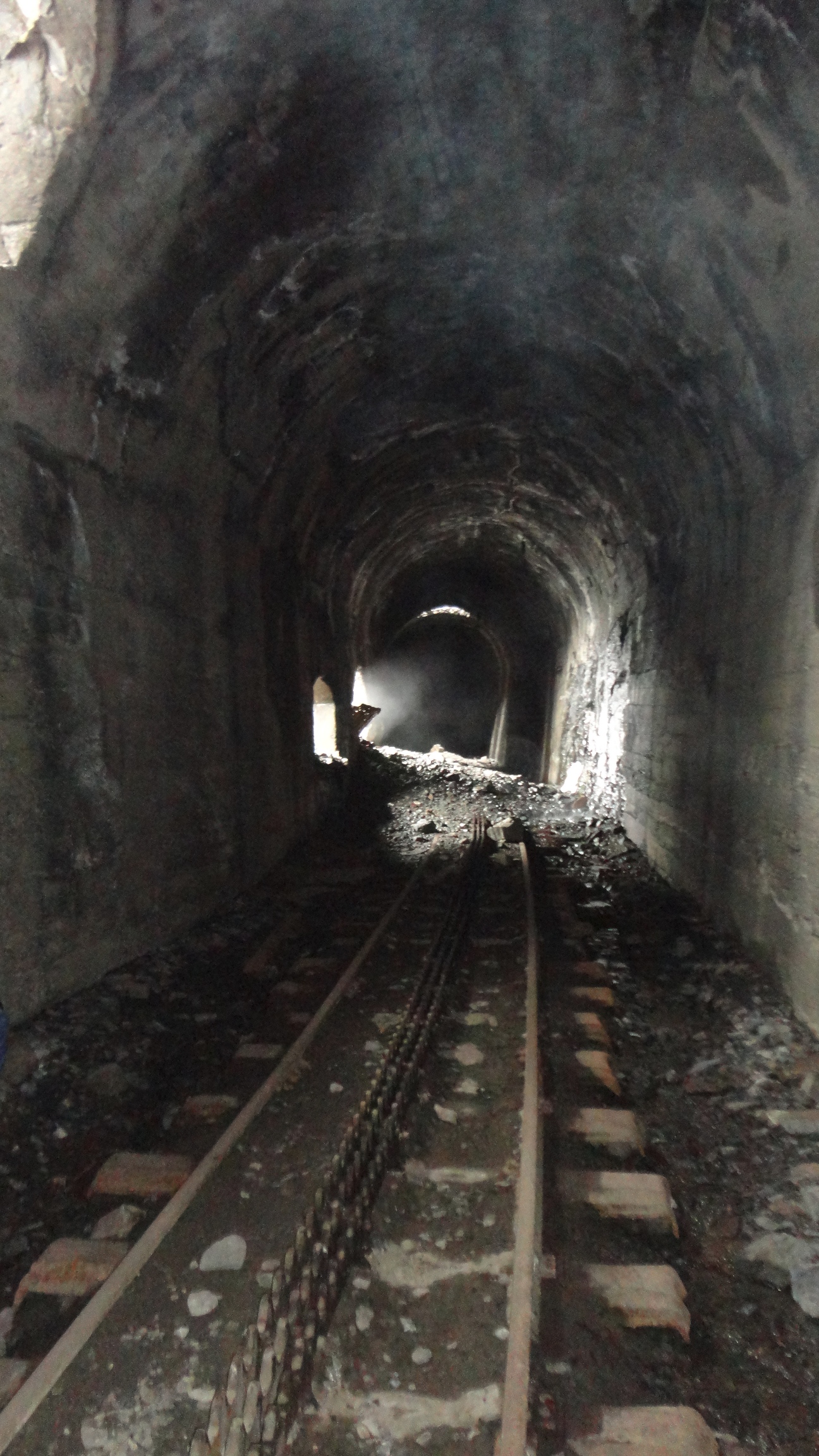
These photos were all taken on the Chilean side of the railroad. As origionally constructed, this 89km side of the road included 4.2km of retaining walls, 270,000 cubic meters of rock & earth moved, 6,000 tones of steel, 23 bridges with a total length of 264.7 meters, 6 kilometers of tunnels and snowsheds, 3 stations, 3 stops, and 2 rail yards [1].

Our first scary bridge is found at Salto del Soldado. This is a narrow gorge cut through the rock.

Observant readers will realize that the highway is passing above the gorge to the West, the railroad is entering a tunnel slightly to the East of the gorge, and there are no bridges in sight. Getting a good look at the bridge required going around to the other end of the gorge where we can see the bridge hidden in the shadows.

Photo of the Salto del Soldado gorge

The train goes up one side of the canyon and into a tunnel. The tunnel opens into the middle of the gorge, the train crosses a short bridge, and goes into a tunnel on the other side. So far as I know, this bridge is actually safe, but it is also very scary. Sadly, I could not get much closer. At a lower water level I might have tried to hike below, but not this time. And this section of the railroad is still used by the nearby mine. I have no idea what the train schedule is and I don't want to get stuck in that tunnel when a train comes. Some of the abandoned tunnels had emergency alcoves for a person to duck into, but I would not bet my life on finding one.

Photo of the Salto del Soldado gorge bridge

Continuing up the route, we find another rail bridge and a pipe bridge. The rail bridge is in use and maintained, and is only scary if you require railings to keep people from falling off. It is not clear if the pipe on the lower bridge is in use or not - but at least it has hand railings.

Detail of upper bridge upstream of Salto del Soldado
Photo of bridges upstream of Salto del Soldado

The pier for the upper bridge appears to be in good condition. And, while I don't know if it is original, it is old enough to make me worry about how well it would perform in an earthquake. The fact that it is still standing speaks well of it, but it is also possible that there simply has not yet been a train on the bridge during a major earthquake. What little I can find indicates that this never has been a very high traffic line.

Photo of
2nd photo of bridges upstream of Salto del Soldado

I took a quick look at the condition of the railroad track and left thinking it needs some work. Some of the joints probably should have smaller gaps, and it we can see a scale pattern in the surface. Also, that joint seems to be missing a bolt. However, this is a low speed train, so it does not have to meet the track quality standards that most trains do.

Photo of cracks forming a scale pattern in the rail track Photo of large gap between rails

I paused to take a picture of some nearby electric wiring; as near as I could (safely) tell, this is still in use. Note that the uninsulated wires came close on the longer stretches and might cross in heavy wind storms. And, being after the transformer drops the voltage, I doubt this run can perform well under a heavy load. Especially on a 100m run with a fairly thin steel conductor. It is an important reminder that safe and reliable electricity is not available in large parts of the world. Hopefully organizations like Engineers Without Borders can help with such situations. And, far more importantly, hopefully Chile will continue its rise out of the third world and be take care of these problems on its own.

Photo of haywire wiring

In the area there are also numerous homemade footbridges. It appears that the one pictured here is for sale, along with the land on the far side. At least, the large blue sign does say For Sale. I will leave the quality assessment of the property to the buyer.

2nd photo of homemade footbridge
Photo of homemade footbridge

Further up the canyon the railroad is abandoned. We find even better scenery and there is no concern about getting stuck in a tunnel with a train coming. Here we can see the old rail grade and the new road.

Photo of old rail grade and newer road, plus mountains

A large portion of the abandoned rail grade is near the road, and it is easy to hike from the road to the rail grade. Except during floods when the river will be too deep; then you will have to see if a local will allow you to use their homemade bridge. Also, the drive itself is exciting. I recommend having the driver focus on the road and the passenger take pictures so that you don't fall into the river.

Photo of warning sign not to drive into the river

Some of the snow sheds came in the form of a stone and concrete tunnel built over the track. Over time the rocks and debris buried the snowshed, turning it into a true tunnel. In this photo the stream completely buried one side of the snowshed and partly filled the rest with rocks. The snowshed is found here.

Photo of the interior of a snow shed/tunnel

An abandoned rail yard and support buildings.

Photo of an abandoned rail yard

And a power house, containing what is left of some large transformers.

Photo of the inside of an old power house.

The area contains numerious creeks cascading down the mountains. They provide a nice background. And normally follow avalanch chutes, of which provide a regular source of track destruction.

Photo of a nearby water fall

Further up the track moves away from the river and goes up the mountain. This resulted in land slides both burying it from above and undermining it from below, as seen here. Sometimes the result can be used as a foot bridge, and is undeniably scary to cross.

Photo of undermined and buried track
Photo of undermined track

There were also plenty of tunnels in the upper section. Many of them had windows.

Another photo of undermined and buried track
Photo inside a tunnel

The view across the canyon. The fog and clouds added to the slightly surreal experience.

Photo of the view across the canyon.

High up in the mountains, almost to the international tunnel, is a beautiful lake and a ski area.

Photo of area near ski area

I did not travel further than the ski area. Shortly past it is the exit gate for the Chilean customs and I don't know how they view people hiking around there. It would be nice to find out what is left of the international tunnel used by the railroad, but I suspect it is either permanently closed off or the border patrol (PDI) will not approve of people entering it. Some day I hope to visit the Argentinean side. But, as I no longer live in Chile, that could take awhile.


Last Updated: May 2014; Fixed typos.

1: Facts as provided by El Ferrocarril Trasandino (ISBN 978-956-8449-08-7), page 41-44. The exact figures changed over the life of the road due to minor changes in the route and expansion of the snowsheds. One reroute can be found here where the track was rerouted to avoid avalanches. This change added 2 bridges, reduced the need for retaining walls, and probably made the railroad have slightly fewer problems with avalanches. Too bad they could not avoid the ones found further up the grade...


Dec 2012 · Index · June 2013

© David C. Hunter, 2012-2014
fb {at) dragonsdawn (dot] org

Valid HTML 4.01 Strict Valid CSS!